

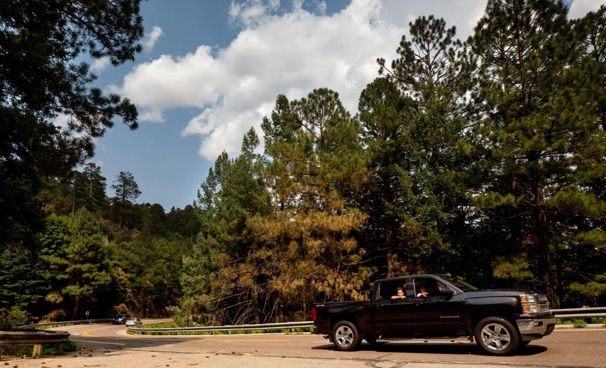
Some areas along Catalina Highway up to Mount Lemmon will open starting at 8 p.m. Tuesday, Forest Service officials said.Т
Most recreation areas between УлшжжБВЅ and Summerhaven were closed earlier this summer due to concerns about the potential for post-fire flooding and runoff issues.Т
The Coronado National Forest updated the safety closure Tuesday. The updated closure order will be in effect until November 1 or until it's rescinded, the forest service said.Т
People will be allowed to recreate in the newly opened areas but restrooms and trash service will not be available. Forest service officials ask that visitors clean up after themselves.Т
People are also reading…
The following areas along the Catalina Highway are open again:
тЂТ Soldier Trail
тЂ Baad Doтag Trail and Vista
тЂ AZ Trail East of Catalina Highway
тЂ Molino Canyon Vista
тЂ Molino Basin Day Use
тЂ Gordon Hirabayashi Day Use
тЂ Bug Spring Trail
тЂ Thimble Rock Vista
тЂ Seven Cataracts Vista
тЂ Cypress Picnic Area
тЂ Chihuahua Pine Picnic Area
тЂ Middle Bear Picnic Area тЂ General Hitchcock Campground
тЂ Windy Point Vista
тЂ Geology Vista
тЂ Hoodoo Vista
тЂ San Pedro Vista
тЂ Sycamore Vista
тЂ Aspen Vista
тЂ Box Elder Picnic Area
тЂ Inspiration Rock Picnic Area
тЂ Alder Picnic Area
тЂ Loma Linda Picnic Area
Restrooms and trash services will resume at four recreation sites on Thursday, September 3:
тЂ General Hitchcock Campground
тЂ Inspiration Rock Picnic Area
тЂ Alder Picnic Area
тЂ Box Elder Picnic Area
Forest officials are regularly assessing the order and some recreation areas, including Sabino Canyon, will remian closed, the forest service said.Т
Closures and opened areas can be found on the U.S. Forest Service's or call the Santa Catalina Ranger District office at for more information.
Wildfires such as the Bighorn Fire north of УлшжжБВЅ leave the ground charred and unable to absorb water, which can increase flood risks. тEven a light rain can produce devastating flash floods and mudflows, often with little warning,т Pima County officials warned. In this July 2020 video, a debris flow oozes down the CaУБada del Oro Wash.
Photos: The Bighorn Fire burn scar in the Santa Catalina Mountains
Bighorn Fire Burn Scar, hiking trails

Gregg Sasek, dispersed recreation manager for the Coronado National Forest Santa Catalina Ranger District, demonstrates how ground along the Palisade Trail has been burnt out making it easy for hikers to sink a leg into the soil, on Aug. 12, 2020. Various dangers are still being accessed throughout the Coronado National Forest as a result of the Bighorn Fire. Pool photo by Josh Galemore / УлшжжБВЅ
Bighorn Fire Burn Scar, hiking trails

Santa Catalina District Ranger CJ Woodard looks at the burn scar caused by the Bighorn Fire along the Palisade Trail in the Santa Catalina Ranger District of the Coronado National Forest, on Aug. 12, 2020. Pool photo by Josh Galemore / УлшжжБВЅ
Bighorn Fire Burn Scar, hiking trails

A scorched tree along the Palisade Trail in the Santa Catalina Ranger District of the Coronado National Forest, on Aug. 12, 2020. Dangers including burnt vegetation, unstable trees and loose soil as a result of the Bighorn Fire are being accessed by the Forest Service before trails in the area are opened to the public. Pool photo by Josh Galemore / УлшжжБВЅ
Bighorn Fire Burn Scar, hiking trails

A tree uprooted by burnt roots and soil as a result of the Bighorn Fire along the Palisade Trail in the Santa Catalina Ranger District of the Coronado National Forest, on Aug. 12, 2020. Pool photo by Josh Galemore / УлшжжБВЅ
Bighorn Fire Burn Scar, hiking trails

Gregg Sasek, dispersed recreation manager with the Coronado National Forest Santa Catalina Ranger District, leads media and other Forest Service workers along the Palisade Trail to showcase various types of damage done to wilderness area as a result of the Bighorn Fire, on Aug. 12, 2020. Pool photo by Josh Galemore / УлшжжБВЅ
Bighorn Fire Burn Scar, hiking trails

A scorched tree along the Palisade Trail in the Santa Catalina Ranger District of the Coronado National Forest, on Aug. 12, 2020. Dangers including burnt vegetation, unstable trees and loose soil as a result of the Bighorn Fire are being accessed by the Forest Service before trails in the area are opened to the public. Pool photo by Josh Galemore / УлшжжБВЅ
Bighorn Fire Burn Scar, hiking trails

Ponderosa Pines charred by the Bighorn Fire stand along the Palisade Trail in the Santa Catalina Ranger District of the Coronado National Forest, on Aug. 12, 2020. Pool photo by Josh Galemore / УлшжжБВЅ
Bighorn Fire Burn Scar, hiking trails

A tree uprooted and burnt as a result of the Bighorn Fire along the Palisade Trail in the Santa Catalina Ranger District of the Coronado National Forest, on Aug. 12, 2020. Pool photo by Josh Galemore / УлшжжБВЅ
Bighorn Fire Burn Scar, hiking trails

Gregg Sasek, dispersed recreation manager with the Coronado National Forest Santa Catalina Ranger District, carries a combi-tool (a woodland fire tool which combines a shovel and pick) as he leads media and other Forest Service personnel along the Palisade Trail to showcase various types of damage done to wilderness area as a result of the Bighorn Fire, on Aug. 12, 2020. Pool photo by Josh Galemore / УлшжжБВЅ
Bighorn Fire Burn Scar, hiking trails

Forest Service personnel and media walk through a burn scar caused by the Bighorn Fire along the Palisade Trail in the Santa Catalina Ranger District of the Coronado National Forest, on Aug. 12, 2020. Pool photo by Josh Galemore / УлшжжБВЅ
Bighorn Fire Burn Scar, hiking trails

Forest Service personnel and media walk through a burn scar caused by the Bighorn Fire along the Palisade Trail in the Santa Catalina Ranger District of the Coronado National Forest, on Aug. 12, 2020. Pool photo by Josh Galemore / УлшжжБВЅ
Bighorn Fire Burn Scar, hiking trails

Gregg Sasek, dispersed recreation manager with the Coronado National Forest Santa Catalina Ranger District, leads media and other Forest Service workers along the Palisade Trail to showcase various types of damage done to wilderness area as a result of the Bighorn Fire, on Aug. 12, 2020. Pool photo by Josh Galemore / УлшжжБВЅ
Bighorn Fire Burn Scar, hiking trails

A fern sprouts from the soil in a burnt out area along the Palisade Trail in the Santa Catalina Ranger District of the Coronado National Forest, on Aug. 12, 2020. Pool photo by Josh Galemore / УлшжжБВЅ
Bighorn Fire Burn Scar, hiking trails

Gregg Sasek, dispersed recreation manager with the Coronado National Forest Santa Catalina Ranger District, checks tree tops for signs of burn while leading media and other Forest Service workers along the Palisade Trail to showcase various types of damage done to wilderness area as a result of the Bighorn Fire, on Aug. 12, 2020. Pool photo by Josh Galemore / УлшжжБВЅ
Bighorn Fire Burn Scar, hiking trails

A burn scar along the Palisade Trail in the Santa Catalina Ranger District of the Coronado National Forest, on Aug. 12, 2020. Pool photo by Josh Galemore / УлшжжБВЅ
Bighorn Fire Burn Scar, hiking trails

A tree base scorched by the Bighorn Fire along the Palisade Trail in the Santa Catalina Ranger District of the Coronado National Forest, on Aug. 12, 2020. The weakening of the base makes it easier for trees to fall and are a serious danger to hikers. Pool photo by Josh Galemore / УлшжжБВЅ
Bighorn Fire Burn Scar, hiking trails

Gregg Sasek, dispersed recreation manager with the Coronado National Forest Santa Catalina Ranger District, walks by a "leaner" (an uprooted tree hung up on another tree or object) as he leads media and other Forest Service workers along the Palisade Trail to showcase various types of damage done to wilderness area as a result of the Bighorn Fire, on Aug. 12, 2020. Pool photo by Josh Galemore / УлшжжБВЅ
Bighorn Fire Burn Scar, hiking trails

A burn scar from the Bighorn Fire along a hilltop near the Palisade Trail in the Santa Catalina Ranger District of the Coronado National Forest, on Aug. 12, 2020. Pool photo by Josh Galemore / УлшжжБВЅ
Bighorn Fire Burn Scar, hiking trails

Scorched pine needles along the Palisade Trail in the Santa Catalina district of the Coronado National Forest, on Aug. 12, 2020. Pool photo by Josh Galemore / УлшжжБВЅ
Bighorn Fire

Bighorn Fire scar north of Summerhaven, Ariz, right, on July 15, 2020. The Mt. Lemmon Fire station is top center in the photo.
Bighorn Fire

Bighorn Fire in the Santa Catalina Mountains below Summerhaven, Ariz, right, on July 15, 2020.
Bighorn Fire

Bighorn Fire scar in the Santa Catalina Mountains north of Summerhaven (lower right) on July 15, 2020.
Bighorn Fire

Bighorn Fire scar in the Santa Catalina Mountains below the town of Summerhaven on July 15, 2020.
Bighorn Fire

The Mt. Lemmon Control Road cuts through the Bighorn Fire scar on the north side of the Santa Catalina Mountains near Oracle, Ariz., on July 15, 2020.
Bighorn Fire

Bighorn Fire scar below Mt. Lemmon in the Santa Catalina Mountains on July 15, 2020.
Bighorn Fire

Bighorn Fire scar area: CaУБada del Oro basin looking south at Samaniego Ridge in the Santa Catalina Mountains north of УлшжжБВЅ on July 1, 2020. The summit of Mt Lemmon is at left.
Bighorn Fire

The Bighorn Fire scar area shown looking from East Ski Run toward Oracle Ridge, left, and Sanmaniego Ridge, right, in the Santa Catalina Mountains north of УлшжжБВЅ.
Bighorn Fire

Bighorn Fire scar area: South face of Mt Kimball on July 3, 2020, in the Santa Catalina Mountains north of УлшжжБВЅ.
Bighorn Fire

Bighorn Fire scar area: Regional Flood Control Staff installing a new real-time ALERT rainfall monitoring site in the burn area in the Santa Catalina Mountains north of УлшжжБВЅ in July, 2020. These are the backbone of the flash flood warning system.
Bighorn Fire

Charred debris from the Bighorn Fire moves down the CaУБada del Oro Wash after a monsoon storm on July 15, 2020.
Bighorn Fire

Charred debris from the Bighorn Fire moves down the CaУБada del Oro Wash after a monsoon storm on July 15, 2020.
Contact reporter Stephanie Casanova at scasanova@tucson.com. On Twitter: @CasanovaReports

Stephanie Casanova
Reporter


